Modeling Arctic Waters
Project Videos

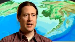
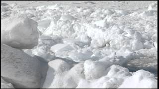
Modeling Arctic Waters
— The realities of sea ice are changing, with Arctic sea ice extent decreasing by about 12% per decade since the late 1970s. Arctic sea ice is losing area, thickness, and volume. Scientists are using innovative data gathering methods and high-tech computational models to decode these changes and to help predict the future of Arctic waters and Arctic sea ice in our changing climate.
- →$post_ids array(3)
- integer7139
- integer7138
- integer7137
- →array(1)
- →'7139' => array(2)
- string(9) "65.862516"
- string(11) "-167.980588"
- →array(1)
- →'7138' => array(2)
- string(9) "59.749343"
- string(11) "-161.952698"
- →array(1)
- →'7137' => array(2)
- string(9) "71.434137"
- string(11) "-156.632003"