Home » All Blogs » mapping
“Breaking ice: it’s a community effort where a large amount of ice is leveled by the use of only hand tools,” said Eyal Saiet. Trail building off Barrow’s shore happens every spring. “It can be more than a month’s effort of breaking trail, so anything that can help breaking trail is of value.” “Sea ice […]
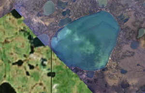
Laura Nielsen for Frontier Scientists – The U.S. Geological Survey’s Alaska Mapping Initiative has released more than 400 new digital topographic maps for the state of Alaska. It doesn’t stop there – the initiative will give us a clear view of Alaska, creating a complete set of more than 11,000 maps over the next 6 […]