Researcher alongside sedated male polar bear, NOAA archive picture / Courtesy NOAA

One year with a polar bear

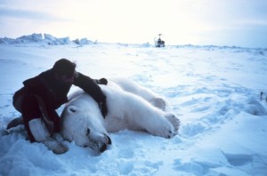
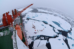
“Here you are flying at about 20 knots or so; you are chasing a bear so you can get close enough to dart it. The wind is rushing in your face, and it’s 10 below zero or more.” George Durner, research zoologist with the United States Geological Survey, Alaska Science Center, told Frontier Scientists that […]

Hubbard, Daanen, Darrow

New videos about Frozen Debris Lobes, geohazards

February 24 2015— Slow landslides in permafrost slide downhill on mountain slopes in the Brooks Range of Alaska. These massive frozen debris lobes are geohazards. They pose a potential threat to the Dalton Highway, Alaska’s lone road to the North Slope. There are 23 identified frozen debris lobes situated less than one mile uphill from […]

Lake E impact breccia core

Wiggles and stacks: Paleoclimate 101

Imagine standing on the top floor of the Empire State Building. Above you, the frigid ice-capped waters of a lake in Siberia. Below you sits nearly a quarter of a mile of lake sediment resting atop impact breccia, a layer of rock formed when a meteorite slammed into Earth 3.6 million years ago. Graph wiggles […]

FDL thaw slump

On the back of the beast

We’ve joined scientists atop a frozen debris lobe, a slow-moving landslide in permafrost. They say we’re ‘on the back of the beast’. In the heavy rain and among fog-shrouded mountains, the scientists are making these uphill treks to record how temperature, water pressure, and local geological properties determine the slope movement of the massive lobes. […]

Icebreaker Snow Dragon Arctic research

Don’t freeze up: the Arctic Ice Watch campaign

Laura Nielsen for Frontier Scientists – Polar waters are unpredictable. The Antarctic rescue operation currently underway illustrates that fact thoroughly; the United States Coast Guard icebreaker Polar Star is en route to rescue the Russian research ship Akademik Shokalskiy and the Chinese icebreaker Xue Long which earlier came to the aid of the beleaguered Russian […]

alaska satellite map comparison

Alaska, updated — modern maps detail the 49th state

Laura Nielsen for Frontier Scientists – The U.S. Geological Survey’s Alaska Mapping Initiative has released more than 400 new digital topographic maps for the state of Alaska. It doesn’t stop there – the initiative will give us a clear view of Alaska, creating a complete set of more than 11,000 maps over the next 6 […]

VIIRS as an Arctic Nightlight

Liz O’Connell for Frontier Scientists – During winter in the Arctic it’s “night” almost all the time, but thanks to the new Visible Infrared Imaging Radiometer Suite (VIIRS) Day/Night Band (DNB) we no longer have to be in the dark about what’s going on with the weather.  Here is a VIIRS/DNB image of the Alaska […]

Plants march north

Laura Nielsen for FrontierScientists The face of the Arctic is changing as plant growth flourishes further north than before. According to the National Aeronautics and Space Administration (NASA), “Temperature and vegetation growth at northern latitudes now resemble those found 4 degrees to 6 degrees of latitude farther south as recently as 1982.” This change accompanies […]